


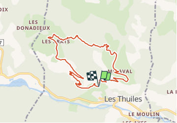

18.5 km | 37 km-effort

User


FREE GPS app for hiking
 SityTrail
IGN / Geographical institutes
SityTrail World
The world is yours!
Trail Walking of 9.6 km to be discovered at Provence-Alpes-Côte d'Azur, Alpes-de-Haute-Provence, Les Thuiles. This trail is proposed by andre06130.
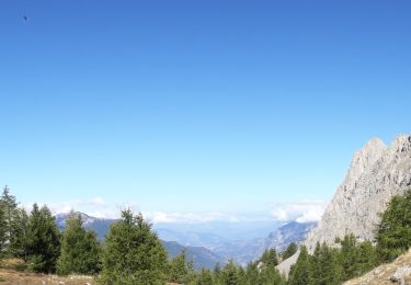
belles vues sur les Thuiles, le chapeau de gendarme et la tête de Louis XVI


Walking

Mountain bike
Walking
Walking

Walking
Walking

Touring skiing
Walking
Walking